GSM: +385 98 374 464
Email: apartmani.jakovcev@gmail.com
GSM: +385 98 374 464
Email: apartmani.jakovcev@gmail.com


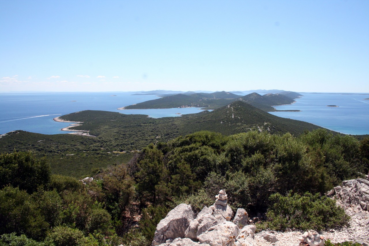
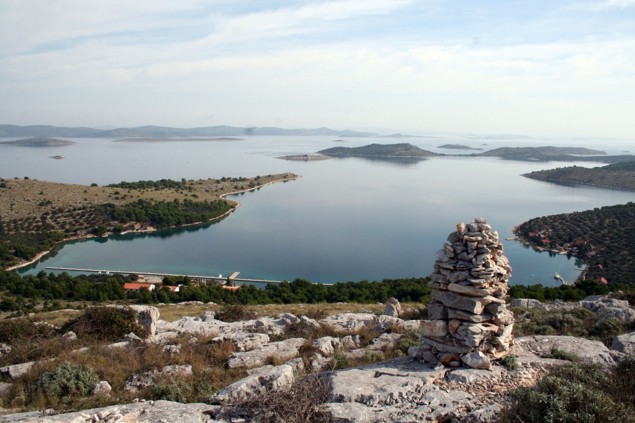
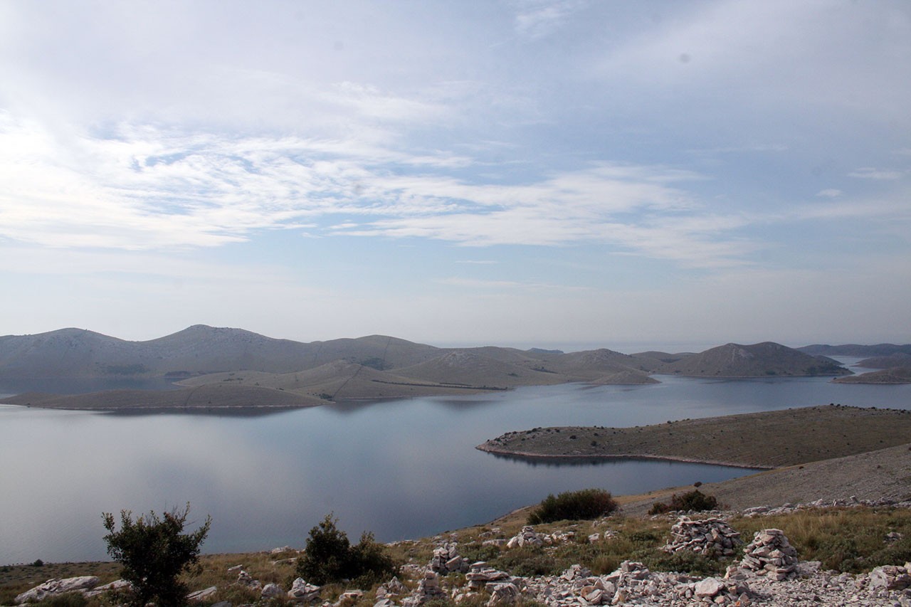
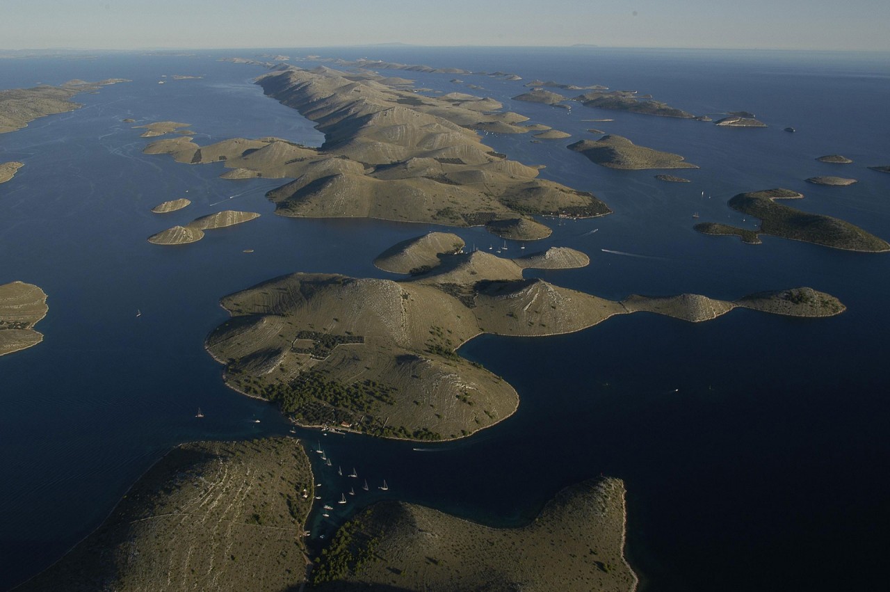
The Kornat Islands are the densest archipelago in the Mediterranean. Nowhere else in this large sea is such a great number of islands crammed in so little space. Because of ambiguous criteria of the definition of an island in general, there is no general agreement about their number. But we think that we shall not err much if we determine their number at 150. The area pf the sea in which they are located is about 320 square kilometres.
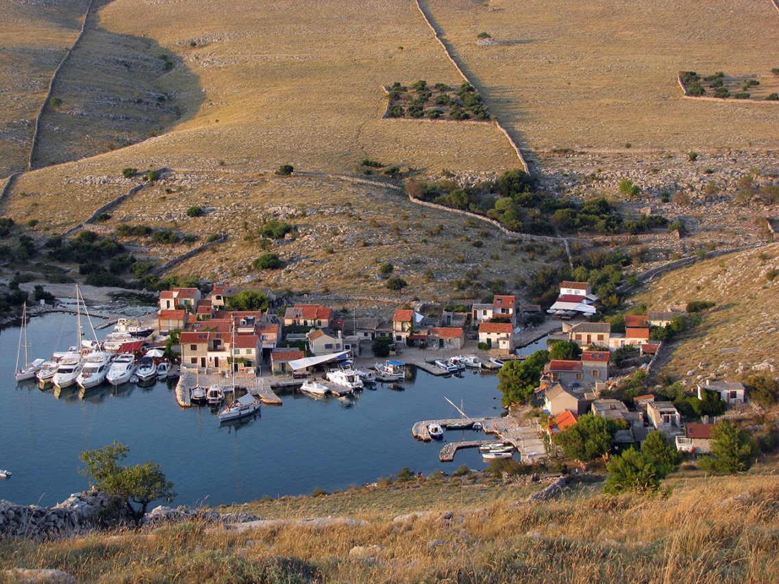
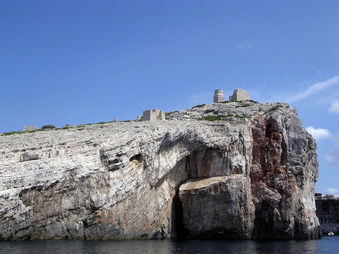
The largest island of the archipelago is Kornat. The inhabitants of the island of Murter, the most numerous of the owners, refer to it as Kurnat, to the archipelago as Kurnati, and to themselves as Kurnatari, other neighbours and the wider public refer to them as Kornat and Kornatari respectively. The island has an area of 32 525 315 square metres; it's shoreline is 66,1 km long, and it is 235 m high - the peak Metlina. The island is 25,2 km or 13,6 nautical miles long. But the special feature and identifiability of the Kornat Islands are the islets.
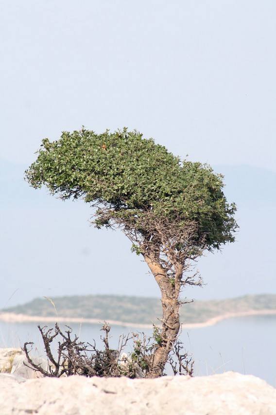
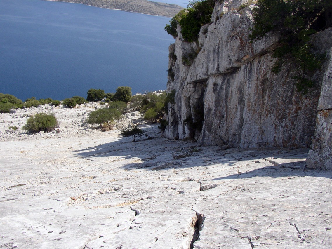
Like many other shepherds and farm labourers, people working in the Kornat Islands obtained pastures and later cultivable land by burning. The process was repeated after several years , in a specific order and at a specified time. Although it is known that events sometimes went out of control, on the whole the pasture was burnt in an organized way. The consequence of burning pastures is the almost lunar landscape of the island of Kornat and some of the larger islands, e.g. Kurba, Škuj, Lunga.
Of all the artefacts that the Kornat hand had created the most important and most impressive is certainly the wall or, more precisely, the dry wall. One of the basic features of the dry walls is their orientation. Since all large islands are elongated, all the walls are built from sea to sea, i.e. from one side of the island to the other. The wall is exactly as high as it is necessary to prevent sheep jumping over it and crossing to someone's else's pasture. It is exactly as wide as it is necessary to prevent the force of the wind to break it.
Another artefact in the Kornat karst attracts equal attention as the dry walls: isolated enclousers - olive groves surrounded with the dry walls. We find them in more than a hundred places in the archipelago, at "most unexpected" locations at that. On the steep sides of Škuj and Smokica, on the saddles of Smokvena and Gustac, on the gentle slopes of Njivica, Piškera, Žakan, Lavsa, Suha Punta, Statival, Pinezel, and Grba, on the level plateaus from Knježak to Šipnate.
The first settlers in the Kornat islands, as already said, were the Illyrian tribe Liburnians - the ethnic element spread on the soil named after them in classical antiquity of the province Liburnia - which stretched from Istria to the estuary of the river Krka. The Kornat Islands were part of the sea in which, it seems, they ruled supreme, whose traffic they controlled; that part of the Adriatic sea that the historian from classical antiquity called Liburnicae insulae
In the 1st century, new colonisers replaced the Liburnians. Except by considering the remains of their material culture, it is difficult to say how they had managed this area, but it is reasonable to suppose that it was not essentially different from what was taking place on other small or smaller islands on which towns had not been established in classical antiquity. The property, then, was in the ownership or in use of deserving families or loyal subjects ot the Empire.
Since there are no written traces, except if the surviving Romance forms in the names of islands, we shall assert, as in the case of the Liburnians, that all we know of that administration came to us through the remains of destroyed villae, salt pans, vivariums or the cargoes of sunken ships.
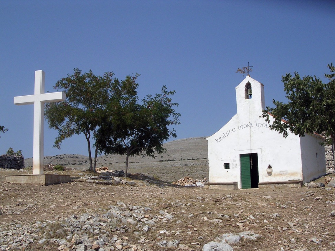
In the times when the Kornat Islands were part of an important shipping route, and the historian think that one of these moment was the attempt of Emperor Justinian to renew Byzantum in the 6th century, at least two objects of exceptional importance were built on the island of Kornat, both at the locality Tarac. The first is the fort Tureta on the height above the field, which served to control the shipping route through the Channel of Kornat, and the second is the church of St. Mary at its foot.
The most recent history of the Kornat archipelago and the relations that persisted in it all the way to the 2nd half of the 20th century was determined by an invention. Namely, in the early 16th century a patrician from Zadar Šimun de Cedulinis invented the method of catching pilchards by means of light. Until then, pelagic fish was caught without artificial light, during the periods of darkness (mrak) during summer, with dragnets, in positions determined by drawing lots, but there is no mention in documents of fishing pilchard. De Cedulinis patented his invention and obtained exclusive right to fishing in the Kornat Islands - then in the sea of Zadar - for 10 years.
Source: TZO Murter-Kornati
Photo Source: Archive